NYWalker: Hand-Geocode Texts
- Moacir P. de Sá Pereira

Read the README at GitHub. NYWalker as hosted by the NYU collective, NewYorkScapes.
NYWalker is a web application that tries to simplify the process of geocoding
texts by hand. To this end, it uses both the Geonames
gazetteer and the Google Maps API to help find locations, while also building a
database, thereby reducing duplicate lookups.
Every instance of a place can be included, and they are kept sorted by page and order on page, making it possible to recreate the narrative “path” of the text in space.
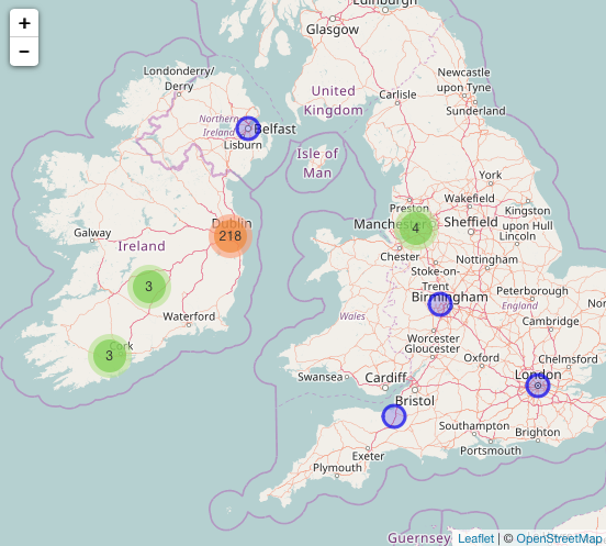
The goal of the application is, again, to facilitate data entry, not data analysis, so its maps are rudimentary, serving mostly as a sanity check against whether the right places are being encoded. As a result, the data collected is openly available and easy to acquire, thereby making the actual analysis a task for scholars in the future.
The data for one text can be downloaded either as instances or as places, in geoJSON and csv formats, and the data can also be sent directly to Carto.
Additionally, it is possible to designate a “special” row in the database to keep track of other aspects of the data, such as who is speaking the placename, or whether it is being spoken in dialogue or in an inner monologue.
Some functionality (like designating the “special” row) requires interacting
with the database directly (or by requireing model.rb in an interactive
ruby shell, but users can add data to texts to which they have privileges,
making it possible to distribute the geocoding among students.